Notsuto Tunnel
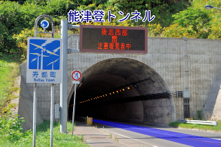
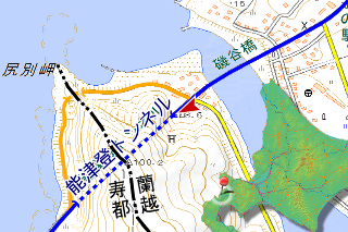
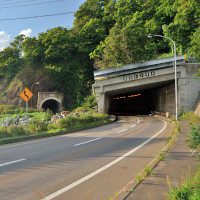
At first, I came Notsuto Tunnel (能津登トンネル, notsuto tonneru) east end of Suttsu Town, Cape Shiribetsu (尻別岬, shiribetsu misaki) located border with Rankoshi Town (蘭越町, rankoshi chō). It is in overlapping section of route No.229 and 276 – called Raiden Route (雷電国道, raiden kokudō), current Notsuto Tunnel was completed in 1994. Old one was completed in 1968 at same place. 2 generations ago was been located near tip of cape.
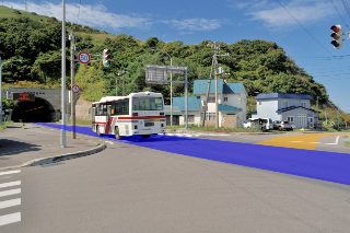
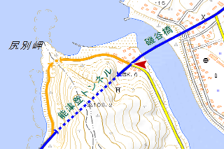
It’s intersection setting on back a bit. The old road starts here to right direction.

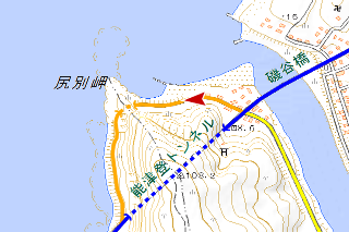
I think it specified to town road because houses built on roadside. The road is paved so just like that I can see the target.
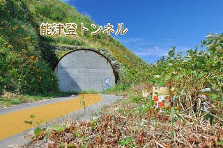
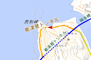
I looked forward to this tunnel because it was drawn in topographic map in the Taisho Period. I see what I can researched about this, it was completed in 1910. It is reputation of being a brilliant born in the Meiji Period.
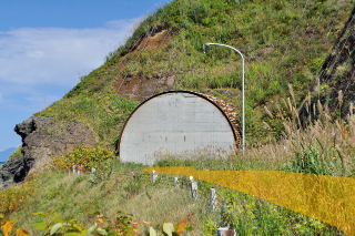
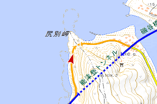
This is another side. 49m long. Inside of this was unlined and part were concrete jacketing.
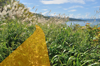
Suttsu side road was not paved, as far as the eye could see bush is taking possession of a territory.
I approached the current road.
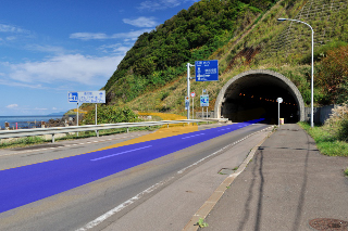
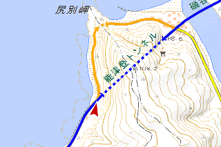
I have joined to current road. Length of old road are almost same both Rankoshi side and Suttsu side, but I felt Suttsu side is about 3 times longer. Bush influence is horrible.
Tanemae Tunnel
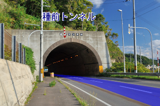
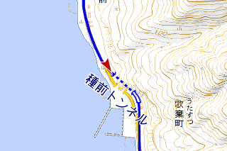
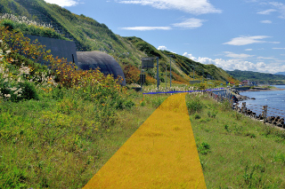
After Fukuroma tour, I came other tunnel. It’s Tanemae Tunnel (種前トンネル, tanemae tonneru). Current one was completed in 1987. The tunnel perforates not a cape but bulged out rock.
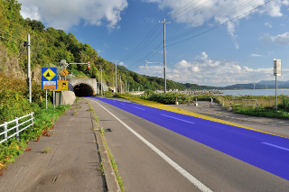
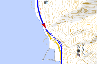
A little behind here is the entrance.
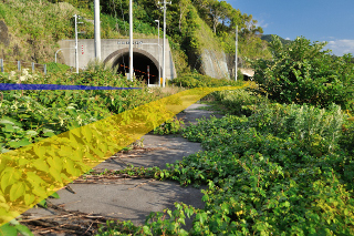
Pavement is left on the road but bush is growing thickly, how long can it keep this state?
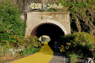
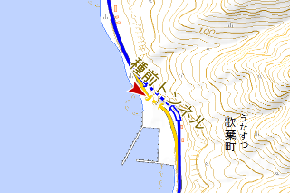
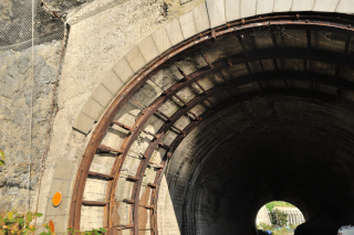
This is old Tanemae Tunnel. The nameplate, “北海道の道路トンネル“, and “橋梁現況調書” are all said completed in 1963. Design of entrance is same with design of this period R229. But actually, this tunnel is in aerial a photograph taken in 1947. It’s a mystery. If I researched it may became clear, but today I came to see Fukuroma so I didn’t it. If it became clear, I’ll postscript the truth here.2017-01-01Postscript The informations came from comment. Before 1963, it called Arito Tunnel. Its completion year is unknown.
I wonder if base rock of this side was frail, it has steel reinforcing materials.
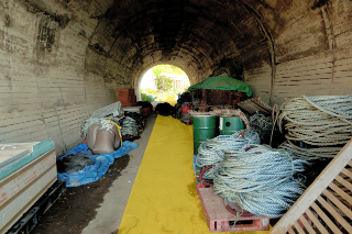
The tunnel has not closed, inside it using like a barn.
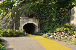
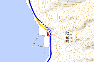
I walked through 40m tunnel and came another side. Design of this entrance is completely same saw earlier one.
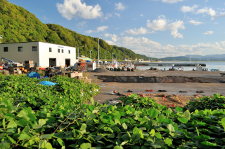
There is tinny fishing port named Arito Fishing Port (有戸漁港, arito gyokō) beyond the tunnel.
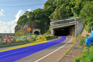
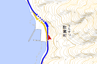
I have joined to current road soon. And the old road have ended.
one more
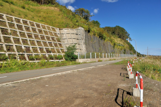
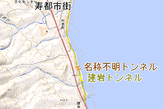
You the tunnel geek may think “Suttsu has more 2 tunnels in southern of urban area”. Unfortunately they are open-cut already. Northern one is in a aerial photograph taken in 1948, isn’t in a aerial photograph taken in 1965. Southern one Tateiwa Tunnel (建岩トンネル, tateiwa tonneru) opened-cut in the past few years. Incidentally it is still drew on GSI map as I write this. 2017-01-01Postscript The informations came from comment. Tateiwa Tunnel was once called Tateiwa No.1 Tunnel. And northern one (名称不明トンネル in the map) called Tateiwa No.2 Tunnel.
Infomation of this entry
major points maps
references
- 「北海道の道路トンネル」(第1集)編集委員会(編)、『北海道の道路トンネル 第1集』、「北海道の道路トンネル」(第1集)領布委員会、1988年
- 北海道開発局、『橋現況調書』、北海道開発局、1964年
change logs
- 追記2箇所
